Why the Dunes Are Where They Are
The dunes of Merzouga did not appear by chance. To understand them, you first need to understand the mountains you cross to reach them. The High Atlas and the far older Anti Atlas worked together to create three things: the dry climate, the supply of sand, and the low basin that holds the most famous dunes in Morocco.
How the High Atlas Was Born
The High Atlas began life as a sunken valley under the sea, and was later squeezed upward into mountains.
A rift opens. Around 250 to 180 million years ago, as the supercontinent Pangaea broke apart and the Atlantic Ocean opened, the crust of central Morocco stretched and sank. A long trough formed exactly where the High Atlas stands today.
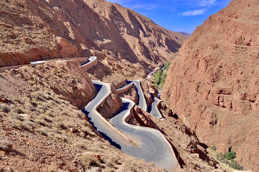
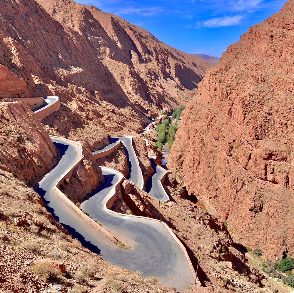
The sea fills it. Shallow seas flooded the trough for millions of years and left thick layers of limestone and marl, full of marine fossils. These are the striped, tilted rock walls you see in the Dades and Todra gorges.
Africa pushes into Europe. From about 60 million years ago, the African plate began moving north against Europe. The pressure squeezed the old trough like a vise, folding its soft layers and pushing them upward. The strongest uplift came in the last 20 million years.
Extra lift from below. The mantle beneath Morocco is unusually hot and the crust above it is thin, which raises the whole region higher still. That is why Jbel Toubkal reaches 4,167 meters, the highest peak in North Africa. The mountains are still rising very slowly today.
The Anti Atlas: the Ancient Anvil
The Anti Atlas is far older than the High Atlas, and its strength decided where the High Atlas could rise.
Its core is Precambrian rock, more than 600 million years old, on the edge of the West African Craton, one of the most stable blocks of crust on Earth. It was folded in ancient mountain building events and has been worn down ever since into the rounded, rust colored ranges of southern Morocco.
When Africa pushed into Europe, this rigid block barely moved. It acted like an anvil: the pressure could not crush it, so the deformation concentrated in the weaker, sediment filled trough to its north. That trough became the High Atlas. The line where the young mountains meet the old block is the South Atlas Fault, which runs past Ouarzazate, Tinghir and Errachidia, the same towns you pass on the road to the Sahara.
Why Merzouga and Erg Chebbi Formed Here
Three effects of the mountains meet in one place, the Tafilalt basin, to create Erg Chebbi.
A rain shadow. The High Atlas blocks moist air from the Atlantic. Rain and snow fall on its northern slopes, while the southeast side stays very dry. Merzouga sees rain on only a handful of days each year.
A steady supply of sand. Frost, wind and flash floods break down the mountain rock. Rivers such as the Ziz carry that debris south through Errachidia and Erfoud, then fade into the desert. Wind sorts the finest grains into sand. You can follow this river on the drive itself, through the Ziz Valley palm oasis.
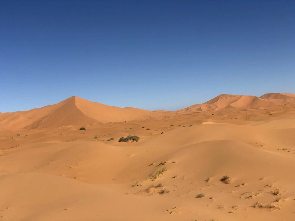
A natural trap. Erg Chebbi sits in a low area at the eastern end of the Anti Atlas, framed by flat stony plateaus called hamada and small dark hills. Winds crossing this landscape slow down and drop their sand here, building dunes up to about 150 meters high.
The result is a sea of sand roughly 22 kilometers long, rising suddenly from the black stony desert. Its warm orange color comes from a thin coating of iron oxide on each grain, which glows at sunrise and sunset.
Seeing the Story on the Road from Marrakech
On a private journey from Marrakech to Merzouga, you drive through each chapter of this story in order:
- Tizi n'Tichka pass (2,260 m): the uplifted heart of the High Atlas, with snowy peaks in winter and steep red and green slopes.
- Ouarzazate and Skoura: wide plains and palm oases along the South Atlas Fault.
- Dades and Todra gorges: ancient sea floor, folded and tilted by the collision of continents.
- Erfoud and the Ziz: the river that carries mountain sediment south, and workshops full of fossils.
- Merzouga and Erg Chebbi: towering dunes on a dark stony plain, where the sand finally comes to rest.
Around Erfoud and Merzouga, look for polished black stone full of orthoceras and trilobites. These creatures lived in the seas that covered the region about 400 million years ago, long before the High Atlas existed. Your chauffeur guide can stop at a workshop and explain how they are cut and polished.